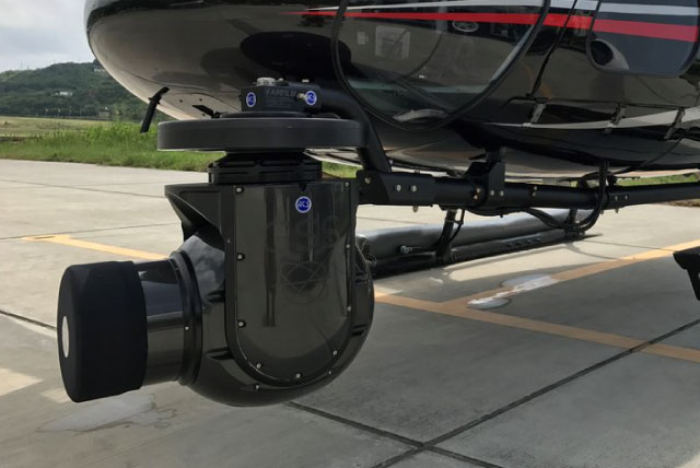
Geophysical surveying and mapping
Leader in surveys and photogrammetric mapping services.
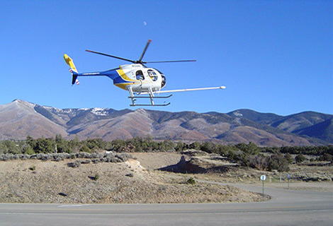
We provide aerial support to engineering companies, mining industry, government, municipalities, and other businesses who need to survey or map land from the Philippine skies.
Accuracy
Helicopters can fly lower and more slowly than fixed-wing aircraft, resulting in more accurate photogrammetric measurements. Vertical accuracy for helicopter surveying can achieve +/- 0.05 feet. It has proven to be a viable alternative to ground surveying.
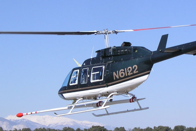
Safety and Accuracy
Our mantra for missions that needs precision.
Our highly professional pilots carry out any of our client’s tasks, implementing the highest level of safety with emphasis on their requirements, to ensure efficiency in every task.
Safety
Helicopter surveying reduces traffic disruptions and eliminates risks to field surveyors and citizens. As an added benefit, helicopter surveying can replace on-the-ground surveying of cross-sections in high-speed, heavily congested traffic areas, or the mapping of sites contaminated with toxic chemicals.
Below are examples of some surveying solutions we’ve supported before:
- Seismic Equipment
- Energy Surveys (Ocean and Land)
- Real Estate Development
- Construction
Request a quote
To take care of your remote destination flights.
Other Services
Looking for specific Aerial Work services? We got you covered!
Filming and Photography
Professional aerial filming
Mining and Exploration
Our specialty
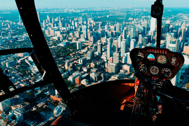
CHARTERED FLIGHTS
BUSINESS AND LEISURE TRAVEL

Remote Destinations
We go where scheduled flights can’t take you

Offshore operations
Surveys, Oil & Gas, Exploration
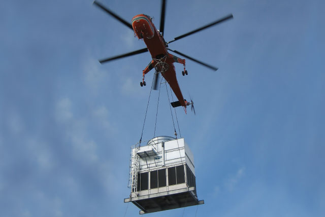
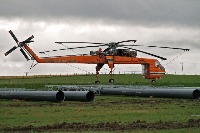
Heavy Lift Operations
Transmission Lines, HVAC, Sling Load...
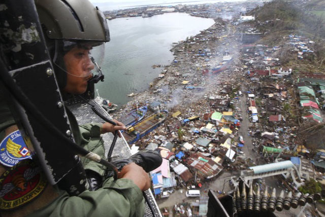
Search and Rescue
Your relief operations partner

Geophysical Surveying and Mapping
photogrammetric mapping services
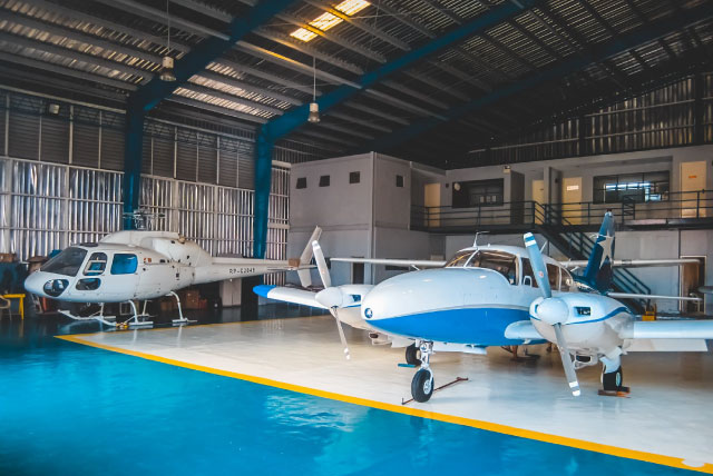
SALES, HANGARAGE, AND OFFICE SPACE
Hangar & Office Spaces for rent in our Hangar 2